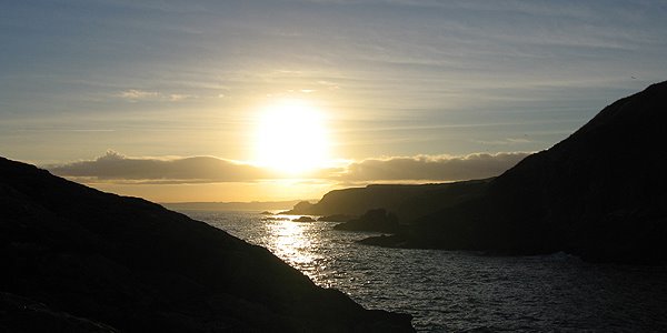
Some winter afternoons in Scotland repay persistence. Driving around lost in a warren of roads and dead-end villages. A rumour of fine new rock , good landings, perfect sea-swirl schist, veins of gold movement...
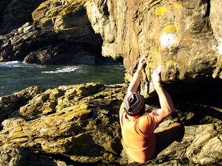
Tim Rankin has been extending the Aberdeen bouldering scene south along the sea cliffs of Portlethen, adding about 40 problems and his hardest to date at about V11.

Tim Rankin has been extending the Aberdeen bouldering scene south along the sea cliffs of Portlethen, adding about 40 problems and his hardest to date at about V11.

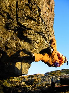
 Gold Rush V5
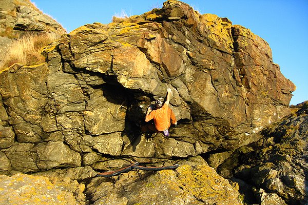 Yukon Afternoon V3